



When a grid goes down, utility managers deal with a flood of mixed signals. Reports from panicked customers, field crews, and local authorities conflict, leaving dispatchers to guess where the damage is worst. As a result, utilities lose precious time and frequently send heavy equipment or specialized crews to the wrong sites.
Overcoming this chaos requires moving from scattered reports to a single, objective view of the entire territory. By processing high res satellite images through smart AI algorithms, operators instantly see actual damage severity across every mile of line, making dispatch decisions fast, predictable, and defensible from the very first minute.
Ground and Air Surveys After a Disaster: What Goes Wrong
A dispatcher gets a call that a feeder line is down somewhere past the flooded intersection, but nobody can say exactly where because the crew sent to check it turned back at the water’s edge. Another team reaches a damaged pole only to find they need a bucket truck that’s stuck three counties away helping with a different outage. Without a clear picture of which sites are worst, foremen end up sending people to whatever’s closest rather than whatever’s most urgent, and some of the most damaged areas go unvisited for days simply because nobody could get there.
Drone teams face the same wall from above: smoke, rain, or low clouds keep them grounded when they’re needed most. On the rare clear day, a drone can only cover a few miles before its battery runs out, so pilots have to choose which sections to check and which to skip, leaving big parts of the grid unaccounted for.
Satellites and AI: A Better Way to Prioritize Disaster Repairs
Real-time satellite images solve the core problem of disaster response: getting a full, timely picture of damage without waiting for roads to clear or crews to physically reach every site. That was clear after the 2015 Nepal earthquake, when satellites mapped building damage and landslide risk in mountain areas cut off from ground access for days. It was equally clear during Hurricane Harvey, when real-time satellite imagery let responders assess infrastructure damage and target priority areas while much of the region remained flooded and inaccessible.
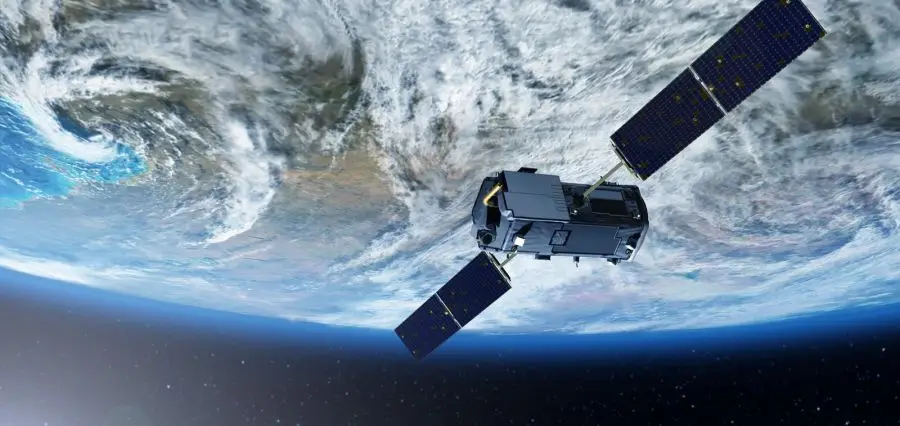
What makes this more powerful now is AI layered on top of that imagery. Instead of someone manually reviewing image after image, AI processes satellite data, sensor readings, and other inputs at scale, picking out damage patterns and severity levels in a fraction of the time manual analysis would take. That combination — wide satellite coverage plus fast AI analysis — is what utility dispatchers and crews can actually act on.
How Satellite Analytics Supports Every Stage of Recovery
Blind crew dispatch wastes precious hours and risks lives. Managers must decide instantly which damage threatens public safety most. Geospatial analytics based on real-time satellite views processes vast territory data at once, applies consistent safety rules, and generates a clear list of priorities for decision-makers.
Here’s how it works at different stages:
- Prioritization — sites get ordered by actual severity, which provides management with a ranked list before a single crew is So, the worst damage isn’t buried under a backlog of minor reports.
- Dispatch — crews are sent toward sites already flagged as high-risk, with ground inspection confirming known conditions rather than searching for problems from scratch.
- Repairs — before a crew heads out, near-real-time satellite imagery shows what they’re driving into: flooding, blocked roads, wildfire debris. Supervisors can send the right equipment and safety gear the first time instead of turning trucks around mid-route.
- Documentation — with before-and-after imagery, timestamped and consistent, regulators, insurers, and environmental agencies get one shared record instead of several conflicting accounts pieced together after the fact.
Ultimately, no satellite map replaces human boots on the ground; teams still need to verify conditions in person. But it eliminates wasted time before crews arrive and leaves a clear record once the work is done.
Be Ready Before the Next Disaster Hits
Speed in disaster recovery depends almost entirely on how much work you do before the disaster hits. Utilities using continuous satellite monitoring already have a clear baseline for their infrastructure. They catch tree encroachment, soil erosion, or unauthorized construction along power lines during routine operations, rather than discovering them under emergency conditions.
Holding onto geospatial data until a crisis happens is a missed opportunity; it delivers real value only when integrated into everyday GIS workflows. The weather isn’t going to cooperate any more than it has, but combining satellite view with AI analytics in real time means utilities walk into the next one already knowing what they’re dealing with.